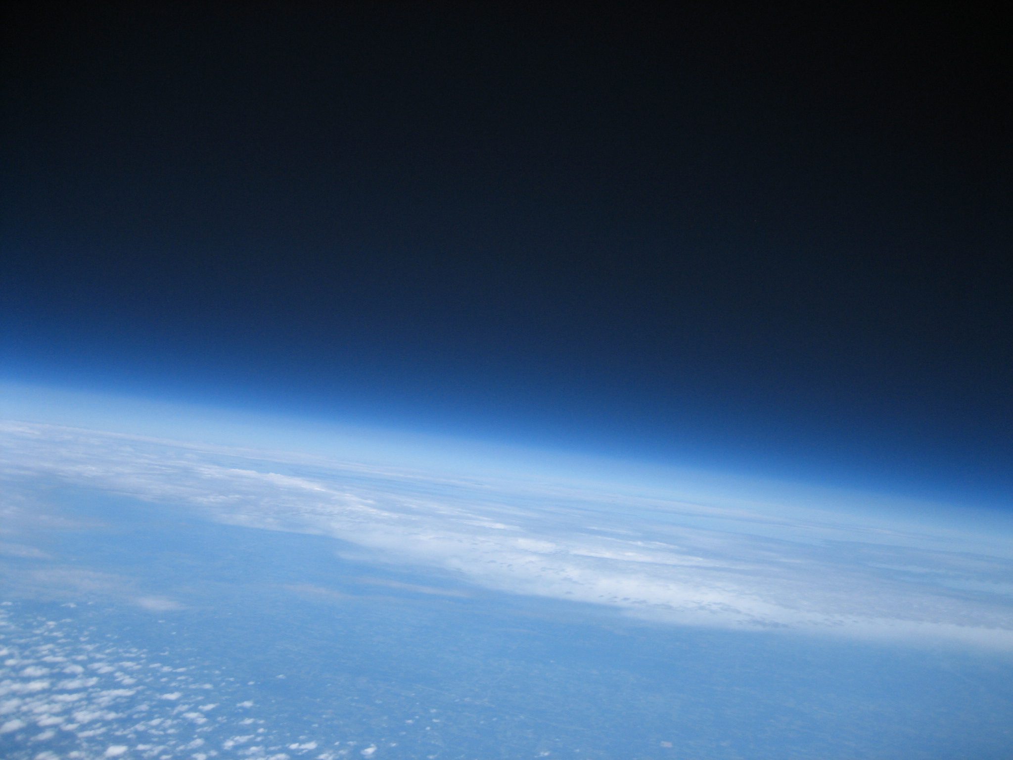

SUFO-1 successfully completed its flight to near space and back on 8/20/2011. A lot of work went into this flight and I’m very happy with how it all came together. Here’s a recap of the flight and some interesting stats.
| Launch Date | August 20, 2011 |
| Launch Time | 10:54:43 CDT |
| Launch Point | 39.074490, -92.305592 (View on Google Maps) |
| Landing Time | 12:35:42 CDT |
| Landing Point | 38.942942, -91.672502 (View on Google Maps) |
| Distance Traveled | 35.2 miles |
| Flight Duration | 1 hour 40 minutes 59 seconds |
| Payload weight | 2.55 lbs |
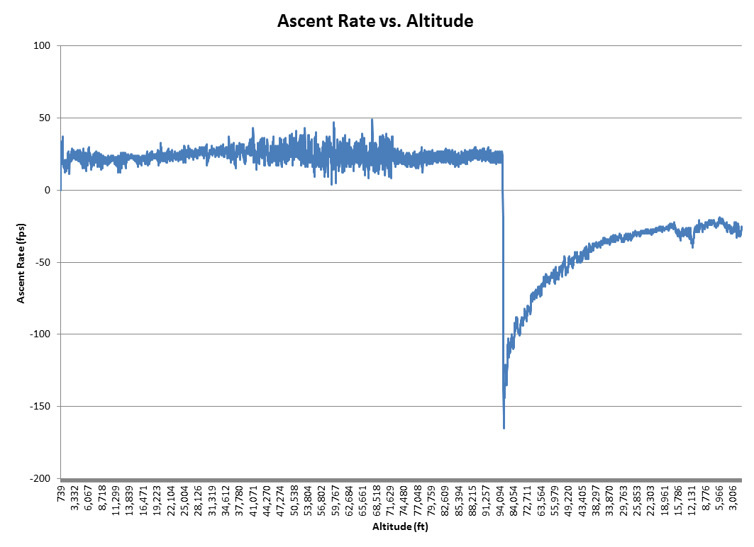
| Balloon lift | 3 lbs of free lift (1400 fpm average ascent rate) |
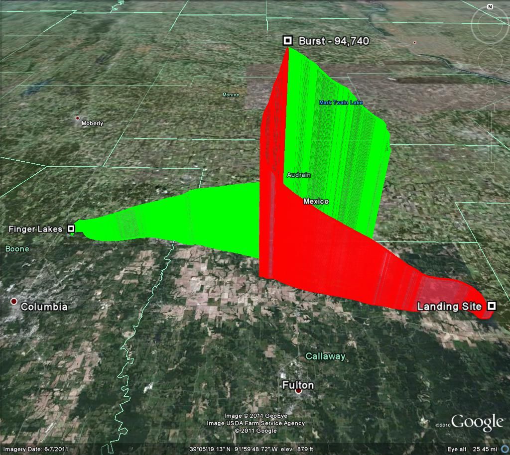
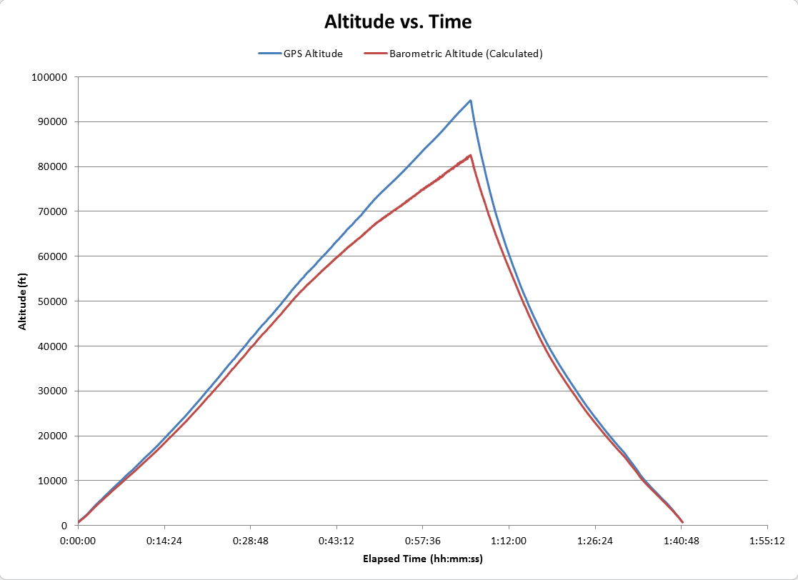
| Highest Altitude | 94,740 feet (17.94 miles) |
| Maximum Velocity | 112.5 mph |
| Pictures | 544 total (252 during flight) |
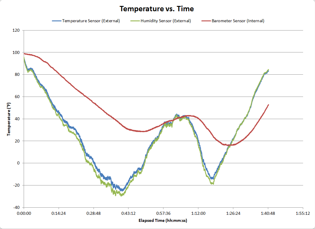
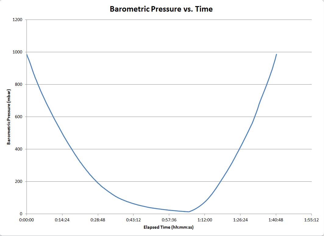
| Sensors | Temperature, Absolute Pressure, Relative Humidity, 3-Axis Acceleration |
| Sensor Readings | 667,192 total (41,976 during flight) |
| GPS Readings | 97,234 total (6,060 during flight) |
| Furthest Antenna Reached | W1GG-1 in Tupelo, Mississippi (362 miles) |
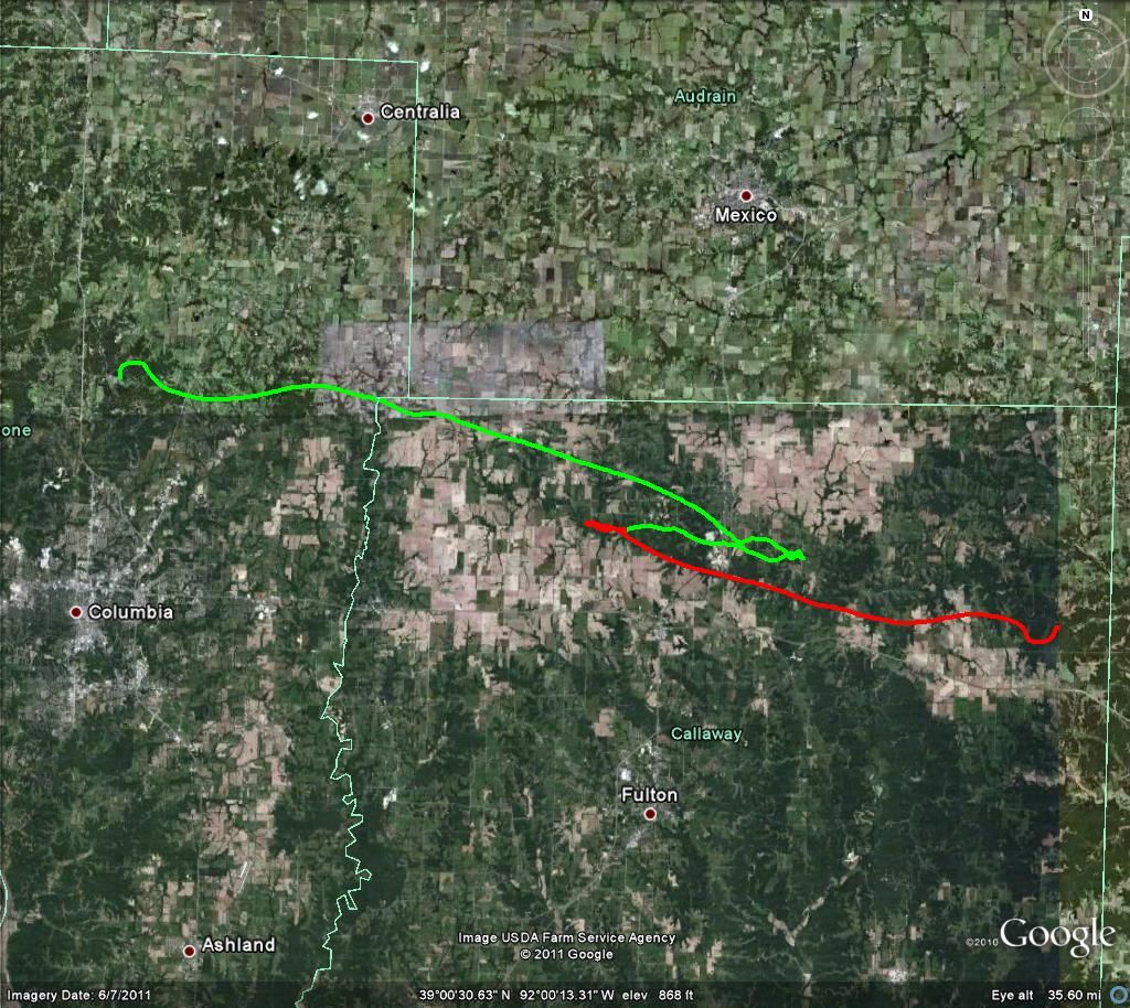
Trajectory
View the full flight trajectory on Google Earth: SUFO-1 Trajectory.kmz
Flight Recap
The launch went very smoothly despite it being our first high altitude balloon flight. The only hiccup was a little rain that delayed the flight about an hour. I maintained contact with the capsule for the entire flight via the APRS.fi website. The balloon followed just north of a major highway for the entire flight, which allowed us to use our cellphones to stay on the APRS.fi website the whole time. It was much easier to use cellphones instead of the laptop inside a car, so the laptop was put away early.
The four of us stopped for lunch about halfway through the ascent and got back on the chase right around when the balloon burst. We quickly caught up to it as it neared its landing point, but we ran out of roads. Using the last known GPS point we headed to the nearest house, asked for permission to explore the property, and headed into the woods. We were warned by the landowner that the terrain was pretty rough and we quickly found out we were a little unprepared. We attempted to make a straight shot to the capsule, which took us up and down many steep hills and thick brush. Using the iPhone Google Maps app was also not easy and its compass was terrible. After a few hours of hiking we decided to retreat, make a new plan, and get better tracking tools.
The next morning I printed off terrain maps of the area and two of us headed back to the landing site and pulled out the laptop. We were able to get a signal directly from the capsule and record its coordinates again. I was amazed that the batteries were still going strong. I downloaded the MotionX-GPS app. This app is amazing and perfect for guiding a chase team to an exact coordinate. This time we stuck to the low points and used dry creeks to reach the landing spot. We found the capsule after a 20-minute search in the vicinity of the known coordinates.
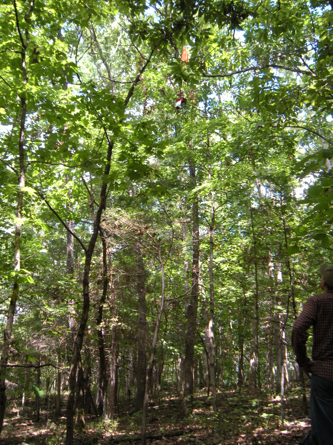
The capsule was stuck in a tree, but we were very lucky considering how tall most of the trees were. We threw up ropes with weights on the end to pull it down. We successfully broke it free of a large tree so that it was only stuck in a smaller one. We ended up cutting that tree down after many unsuccessful attempts using the rope technique.
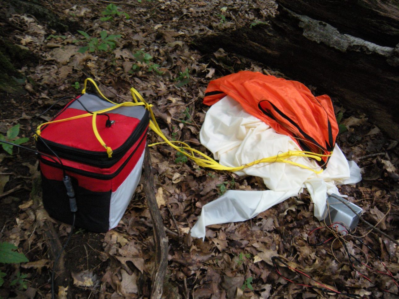
The capsule was in great shape thanks to the trees catching it. However, the entire balloon was still attached to the parachute. The cutdown module didn’t separate it after the balloon burst. It was quickly obvious that the connection was broken at some point during the flight. A review of the data log showed that the software initiated cutdown at the correct point. I tested the cutdown module and it worked perfectly too. Therefore, the broken connection was definitely the problem. This was the only connection I didn’t hot glue into place.
Besides the cutdown module failure, the whole project was a success. I’ve heard horror stories of losing contact with the capsule and never finding it. I also didn’t expect to run into such rough terrain with so many farms around the predicted landing point, but we still managed to find it. This project challenged me on many levels, which kept it interesting from start to finish. This is by far the most rewarding project I have worked on. I also couldn’t have done it without my launch and chase crew: Scott Taylor, Nikki Weber and Jay Green. Thank you so much, guys!
Pictures
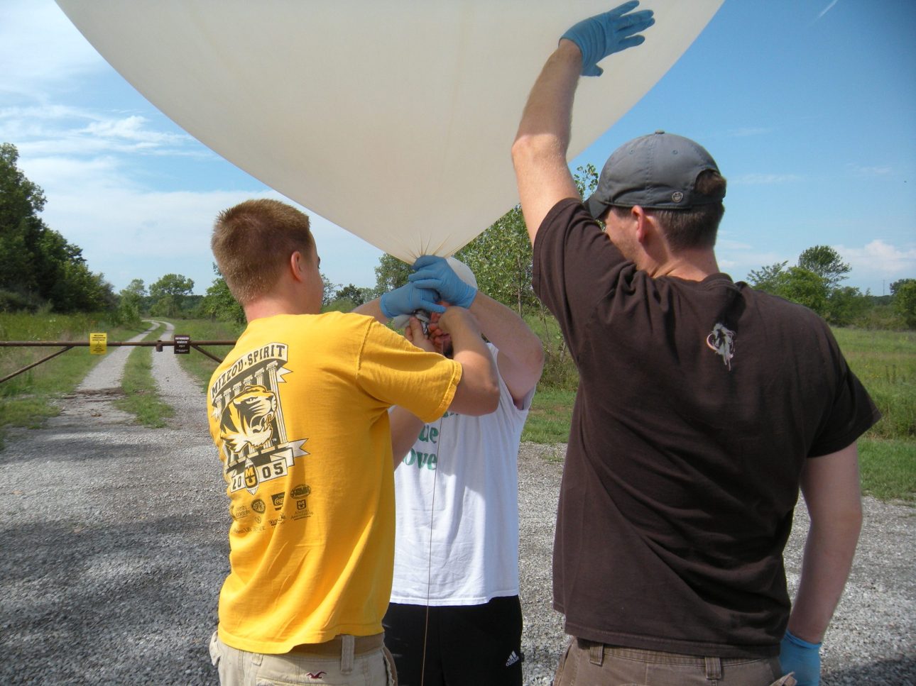
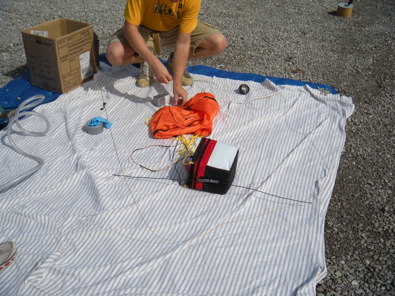
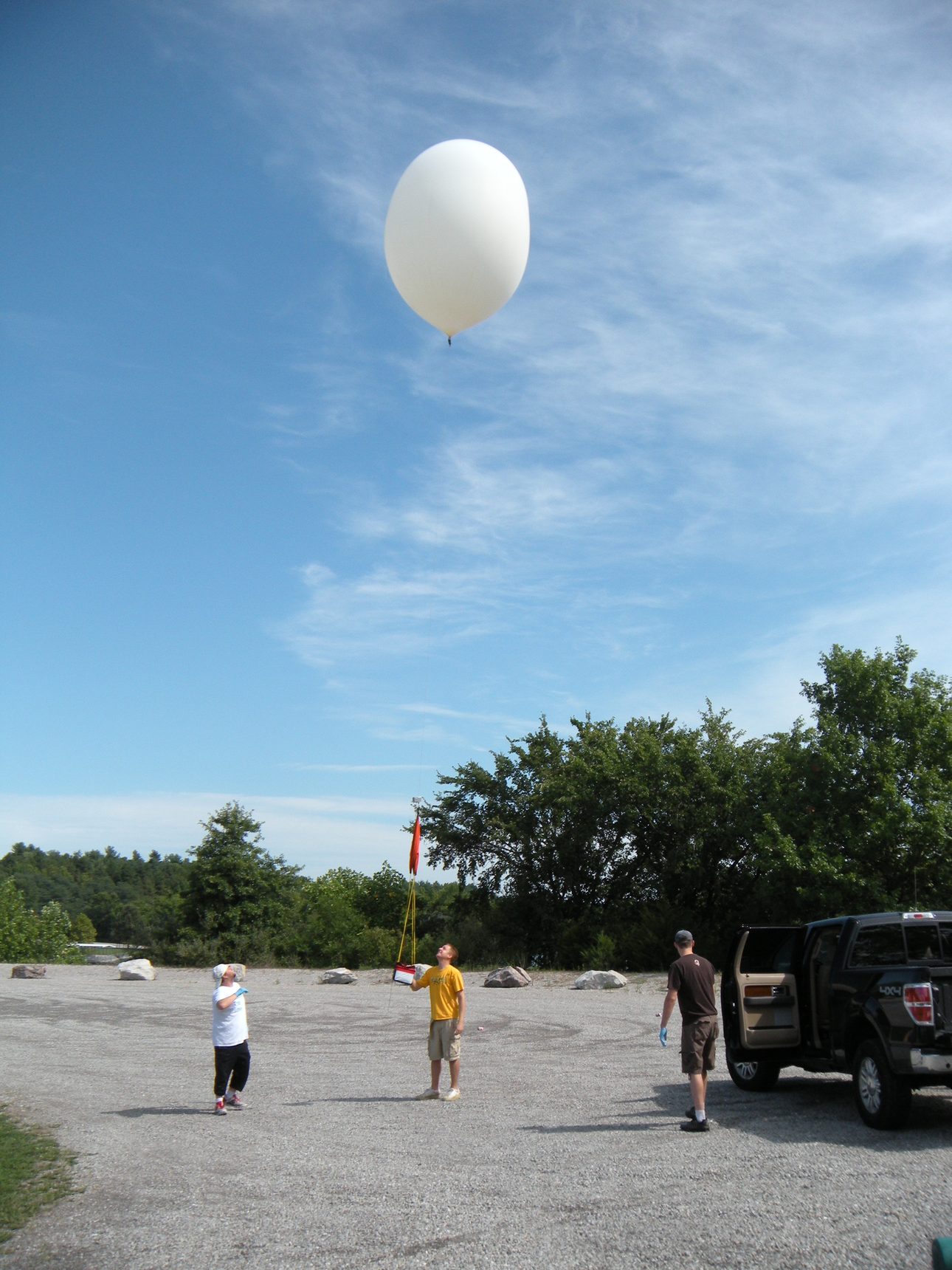
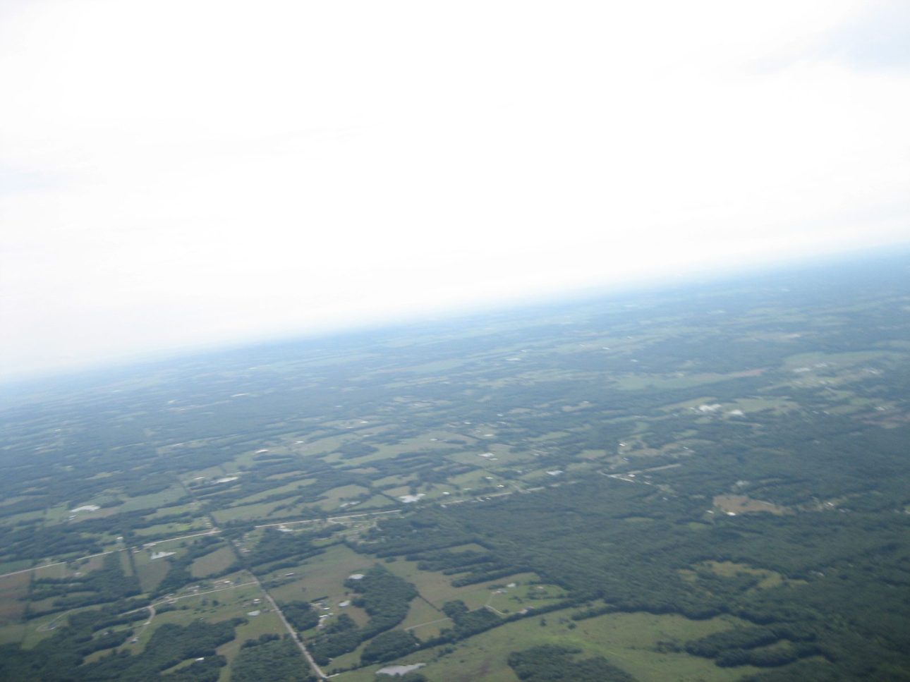
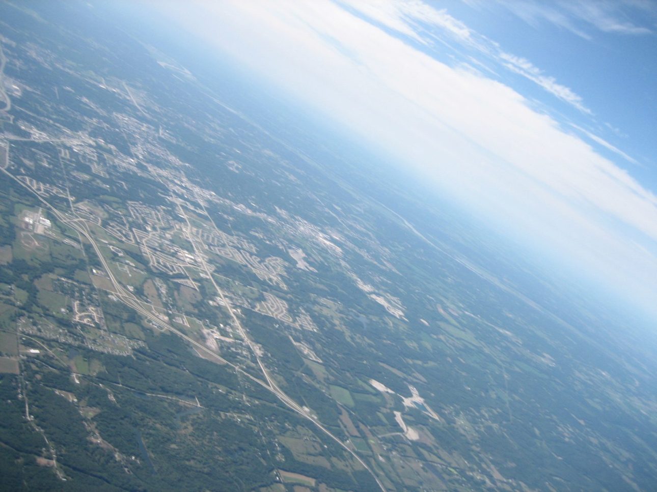
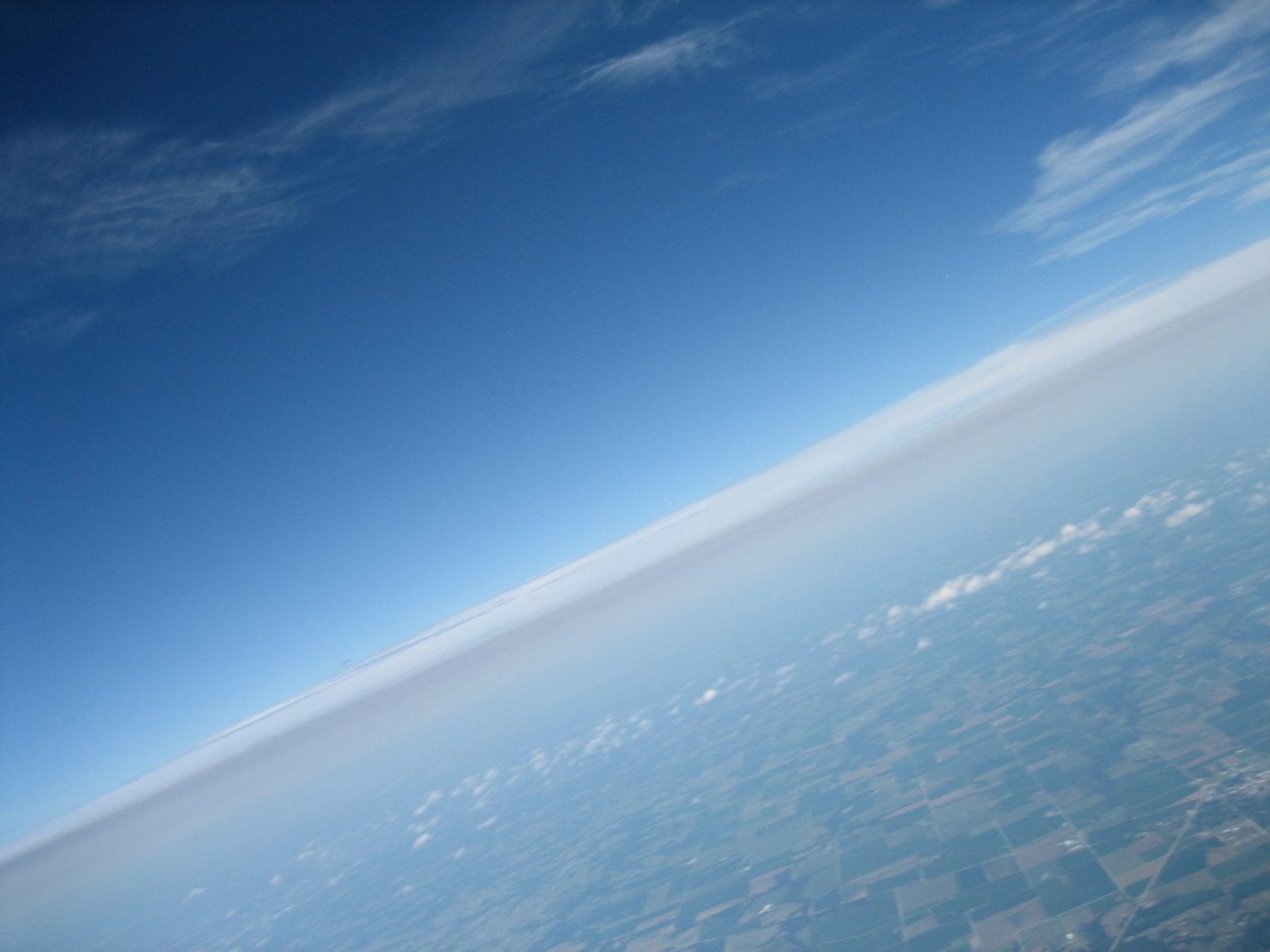
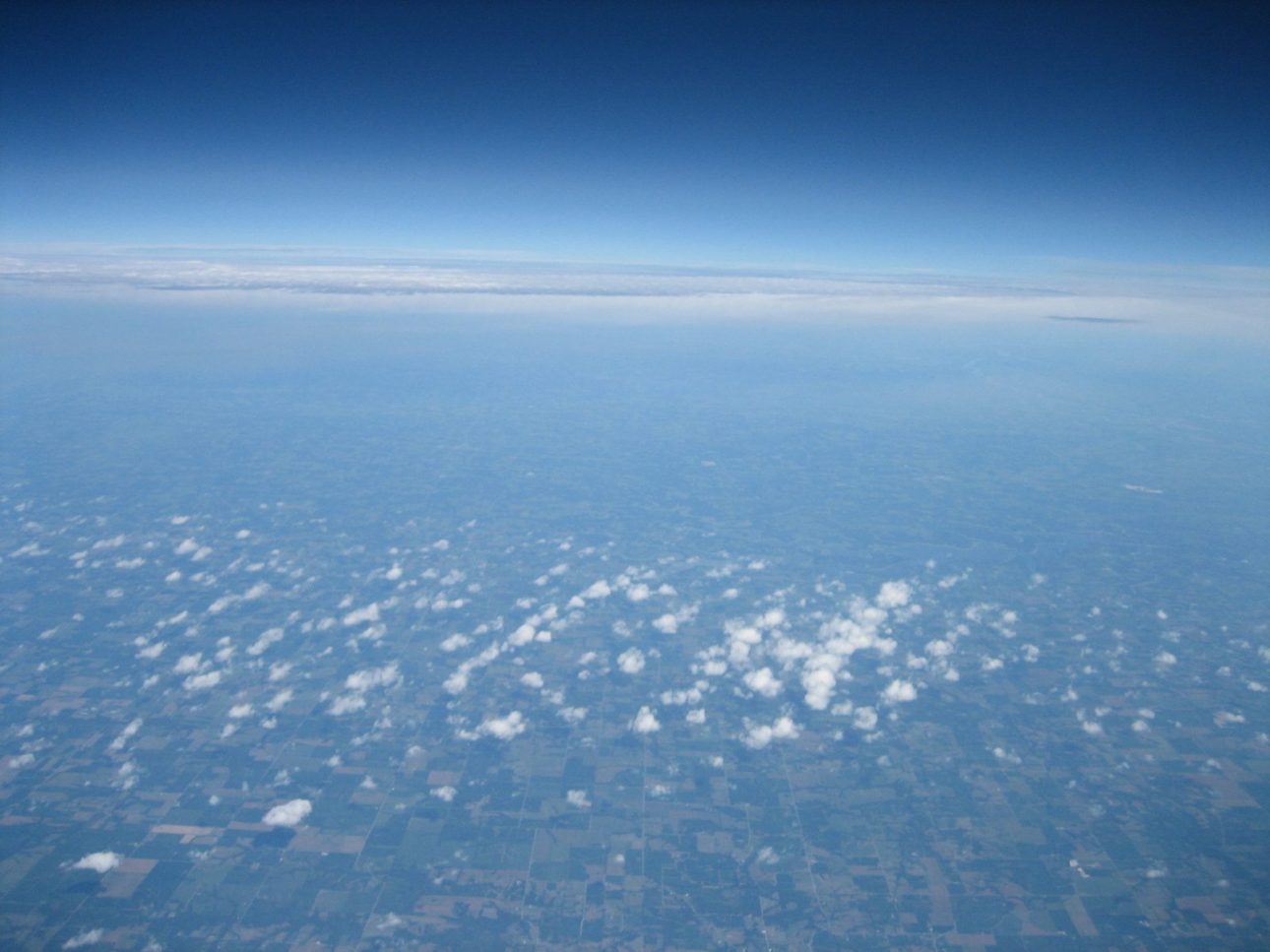
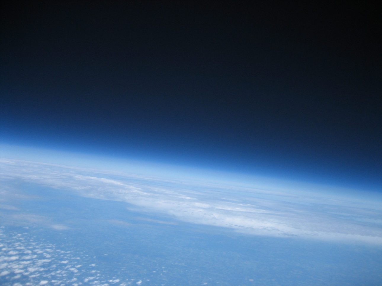
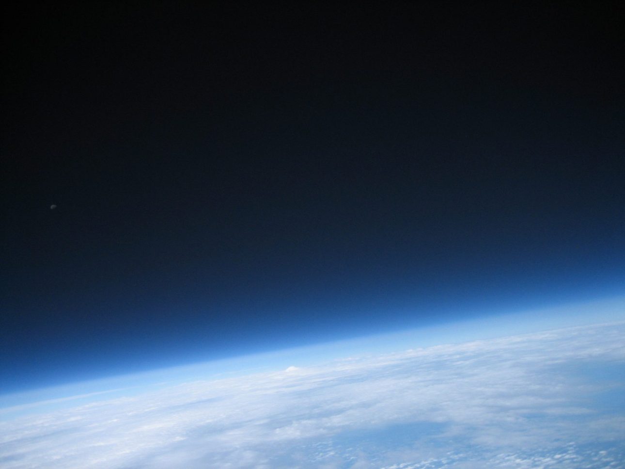
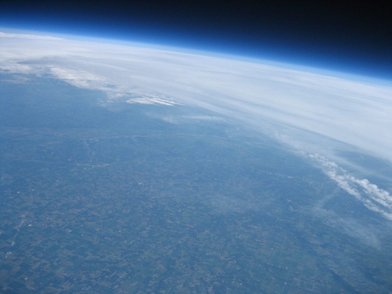
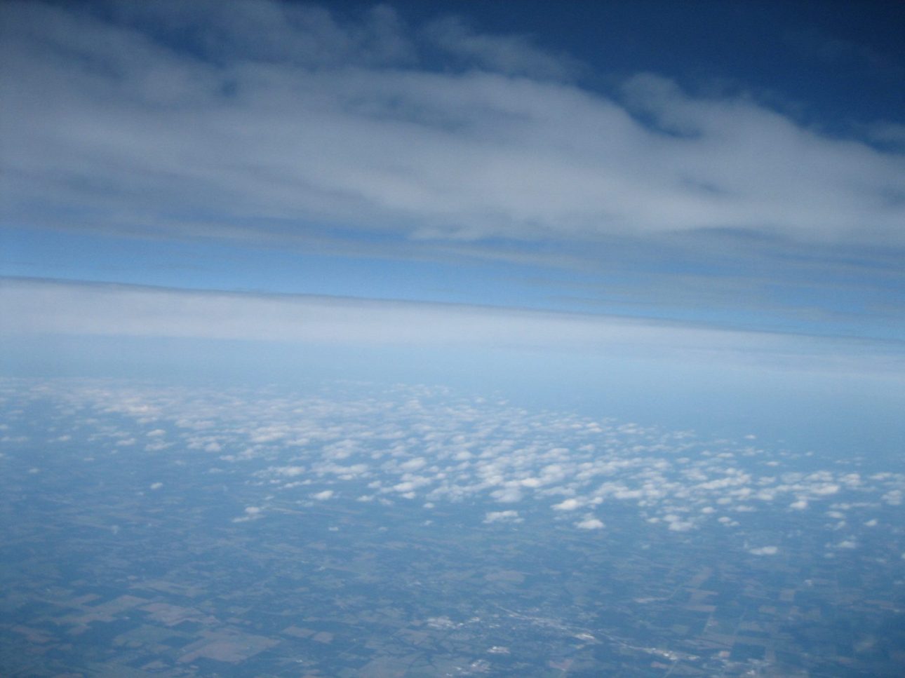
Here are some pictures from the flight. View my Flickr sets for more pictures.
Data
Raw data log from capsule: SUFO-1 Flight Log.txt
Flight Analysis (data & graphs): SUFO-1 Flight Analysis.xlsx
Google Earth flight trajectory: SUFO-1 Trajectory.kmz
Launch, flight & recovery pictures: SUFO-1 Flickr sets
Feel free to post any comments or questions about the flight. I’d be happy to share anything you feel I missed.


Leave a Reply