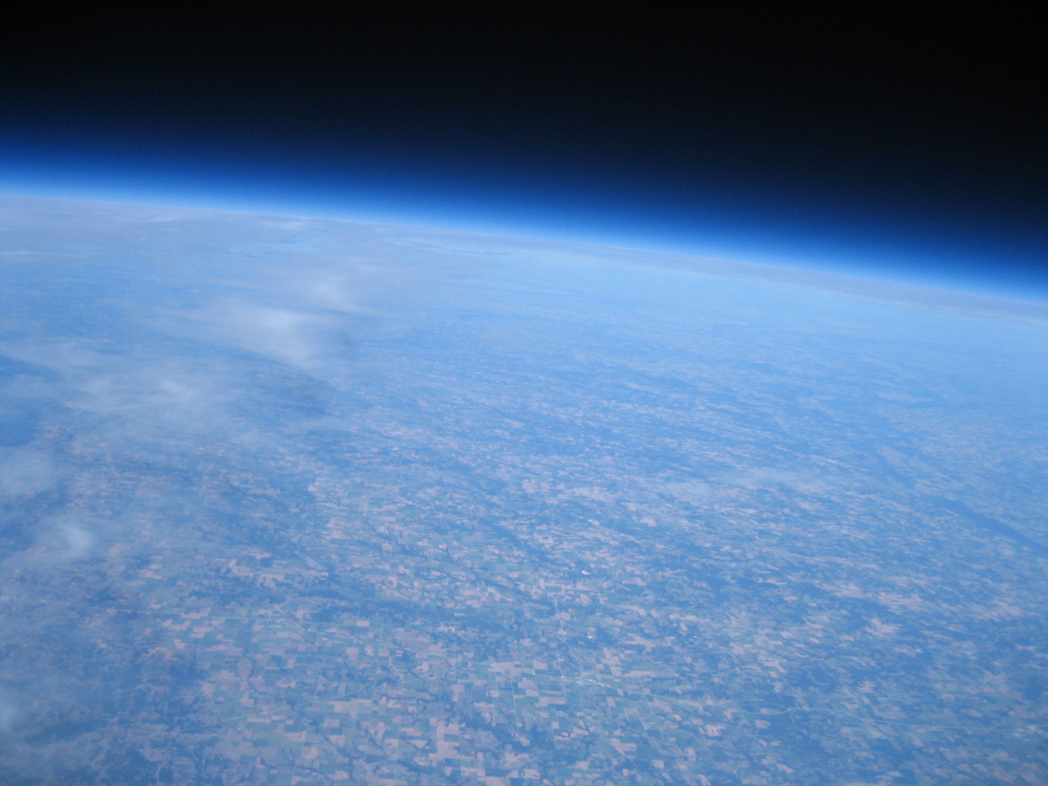

SUFO-2 successfully completed its flight to near space and back on 9/14/2013 and broke my goal altitude of 100,000 ft. Here’s a recap of the flight and some interesting stats.
| Launch Date | September 14, 2013 |
| Launch Time | 12:47:09 CDT |
| Launch Point | 39.244444, -92.228056 (View on Google Maps) |
| Landing Time | 02:28:13 CDT |
| Landing Point | 39.112500, -92.106111 (View on Google Maps) |
| Distance Traveled | 11.2 miles |
| Flight Duration | 1 hour 41 minutes 4 seconds |
| Payload weight | 3.23 lbs |
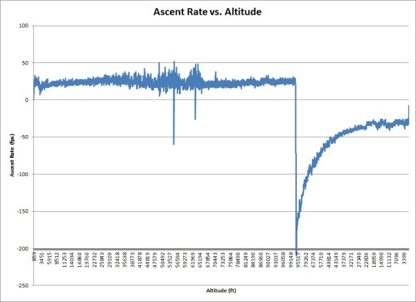
| Balloon lift | 3 lbs of free lift (1400 fpm average ascent rate) |
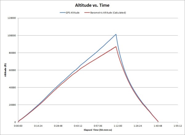
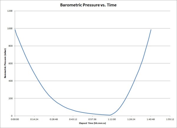
| Highest Altitude | 101,233 feet (19.17 miles) |
| Maximum Velocity | 143.2 mph |
| Pictures | 655 total (511 during flight) |
| Video | 1:29:21 total @ 720p (1:03:31 during flight) |
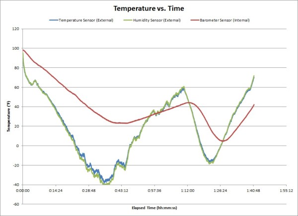
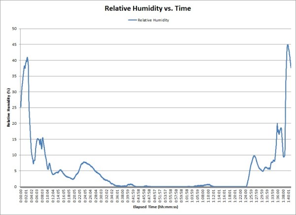
| Sensors | Temperature, Absolute Pressure, Relative Humidity, 3-Axis Acceleration |
| Sensor Readings | 82,784 total (42,040 during flight) |
| GPS Readings | 11,990 total (6,065 during flight) |
| Furthest Antenna Reached | NX0P in Glenville, Minnesota (382 miles) |
Trajectory
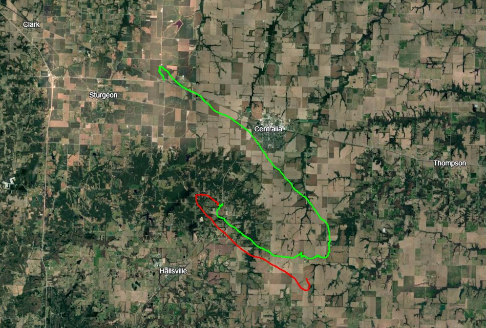
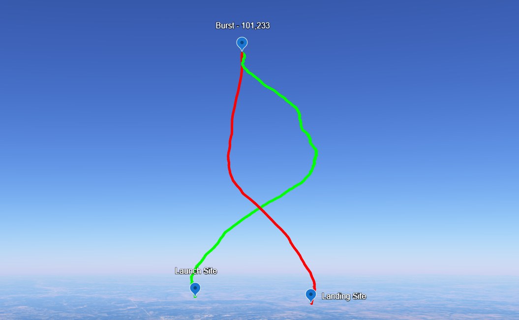
View the full flight trajectory on Google Earth: SUFO-2 Trajectory.kmz
Flight Recap
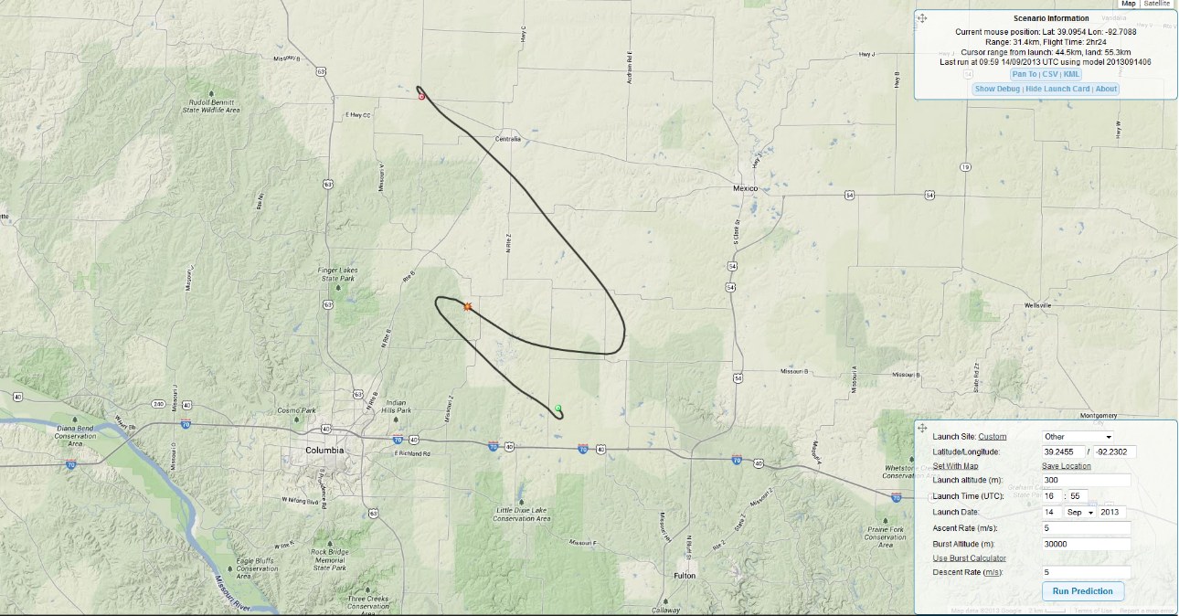
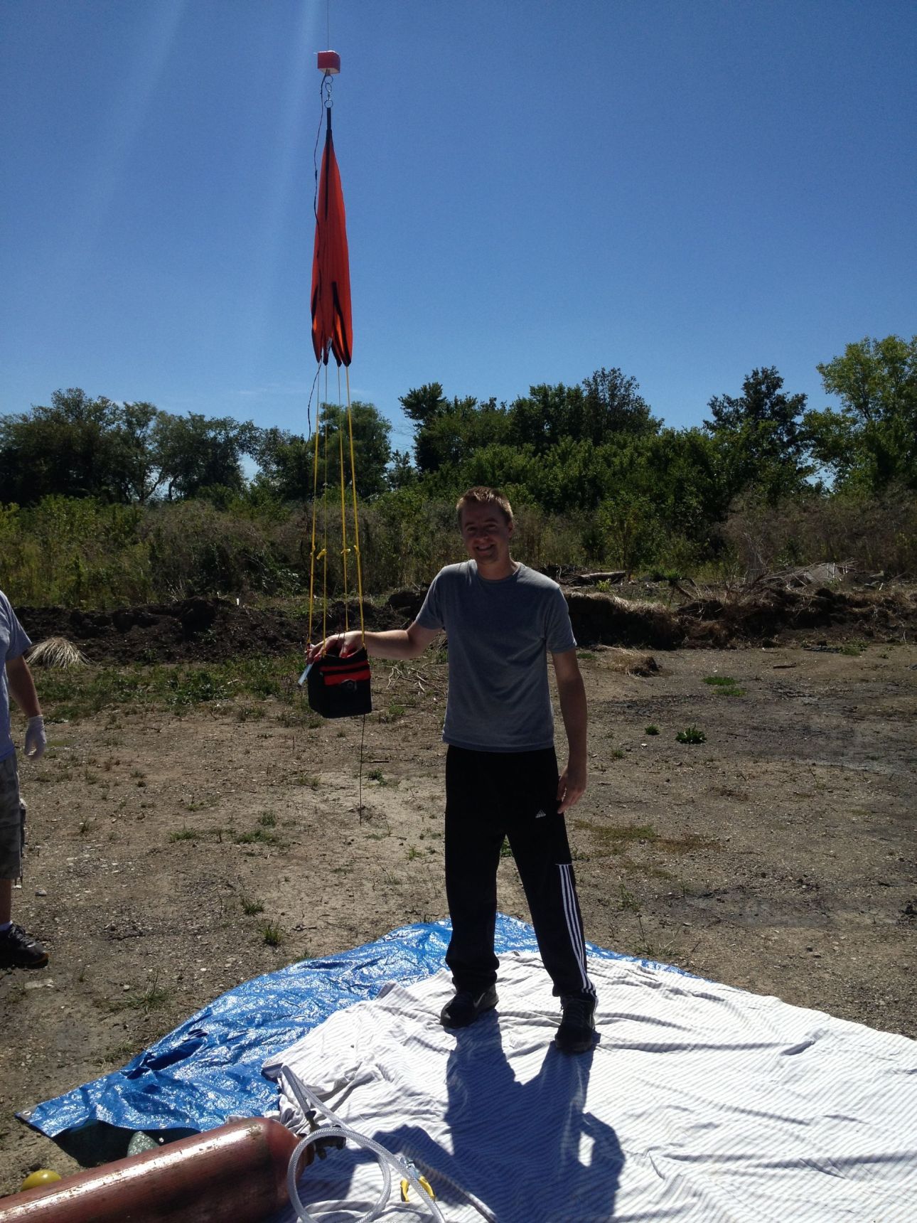
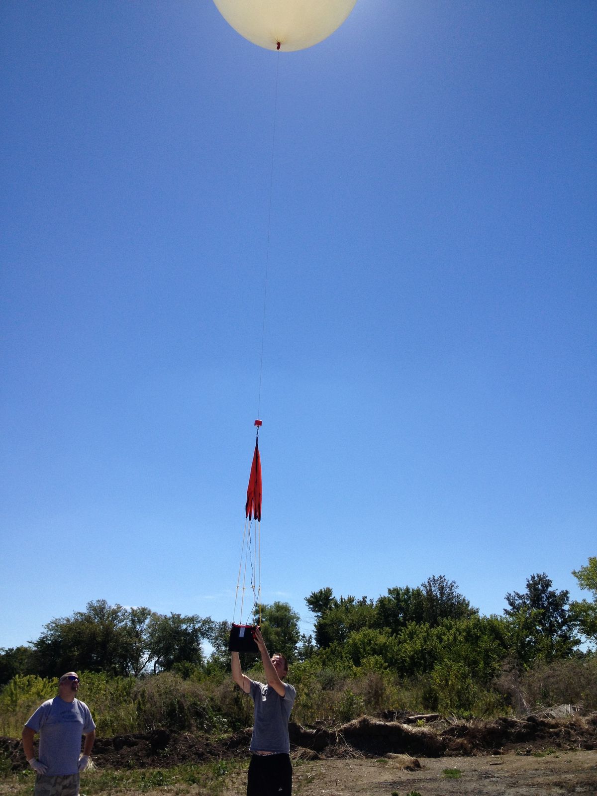
This flight was very similar to SUFO-1. The only differences for this launch are a new cutdown module, a video camera, a heavier balloon, and hydrogen gas used for lift. Hydrogen introduced new risks when filling and handling the balloon, but we took our time, filled the balloon in an open area outside, and made sure to reduce static electricity as much as possible. I used the Cambridge University Spaceflight Landing Predictor to select a launch location. Around 11am the chase crew headed up to the launch location, set up the capsule, filled the balloon, and prepared for launch. The balloon lifted off around 12:50pm. The predicted flight path is shown below. As you can see, it is very similar to the actual flight path, except that the balloon was overfilled slightly and the balloon rose quicker than expected.
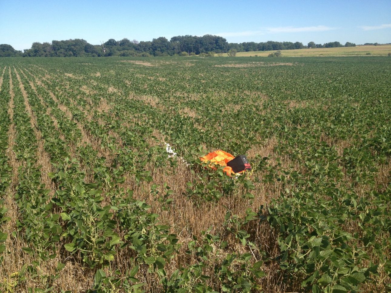
We learned from the last launch and only used cellphones to track the balloon while in the car. We had the APRS.fi website up and could track the balloon that way. Once the capsule came back down under 8000 feet that stopped working (as expected). At that point we drove as close as we could, got out of the car, and started walking to the last known location. My laptop was then used to get a direct signal from the capsule. Once we got pretty close the laptop picked up the signal and we were able to walk right to it. The whole area was surrounded by corn fields, but luckily it landed in a bean field so it was easier to walk through.
The first thing we noticed was that the balloon was still attached. The last balloon did the same thing because a wire broke loose and the cutdown module couldn’t operate. This time I found that I forgot to plug in the 9V battery that powers the cutdown module. Idiot! Oh well. The capsule wasn’t damaged so I can’t be too upset. I reviewed the logs and it looks like the software worked correctly, but with no power the cutdown couldn’t happen. Maybe next time I’ll get it right.
Overall this was another successful high altitude balloon launch. I still didn’t get the cutdown to work right, but we did learn from last time and selected a better landing location. This made it very easy to find. Thanks again to my chase crew!
Pictures
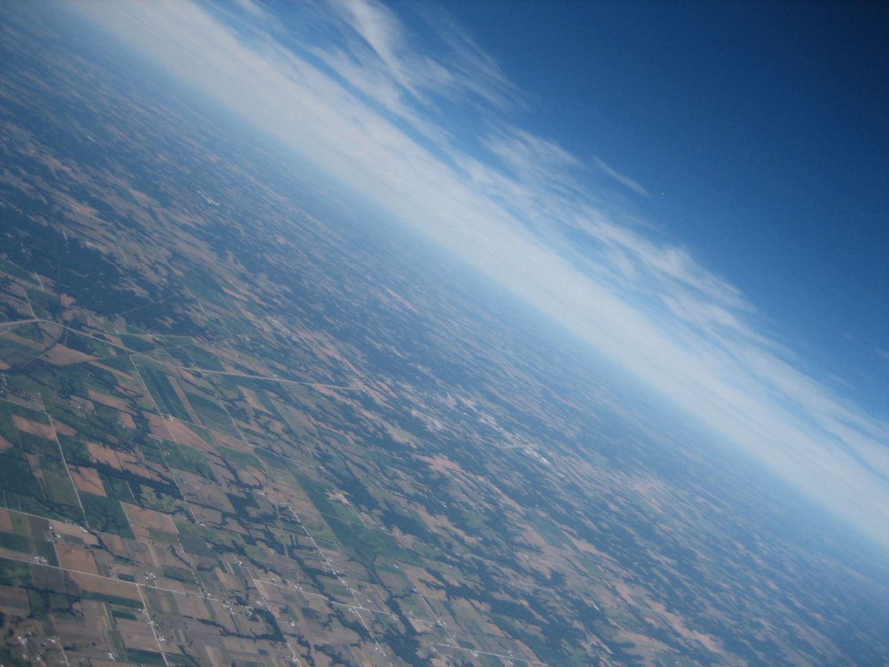
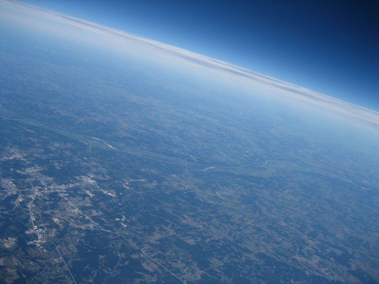
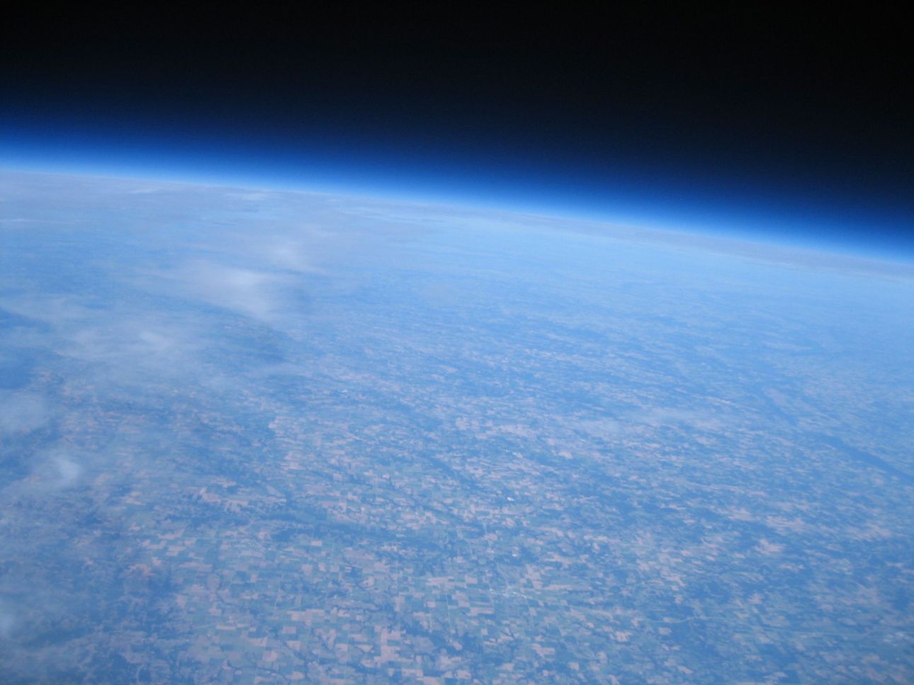
Here are some pictures from the flight. View my Flickr set for more pictures.
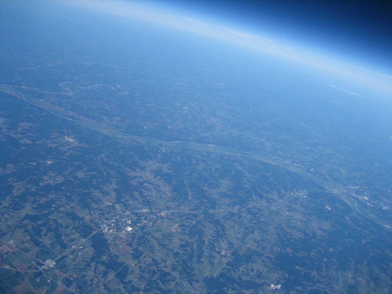
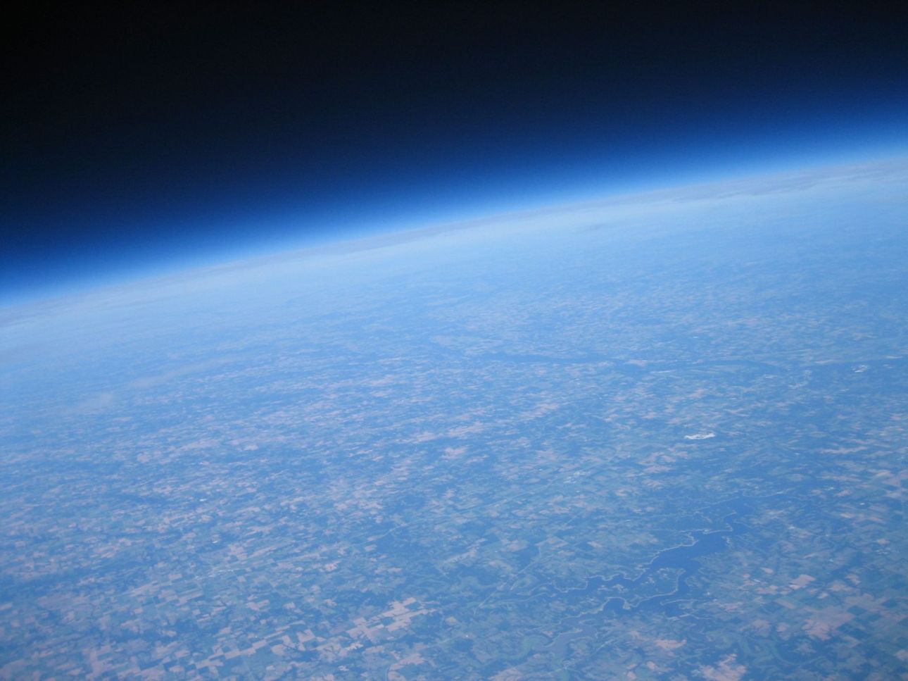
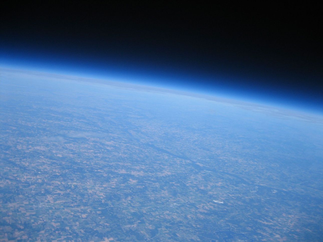
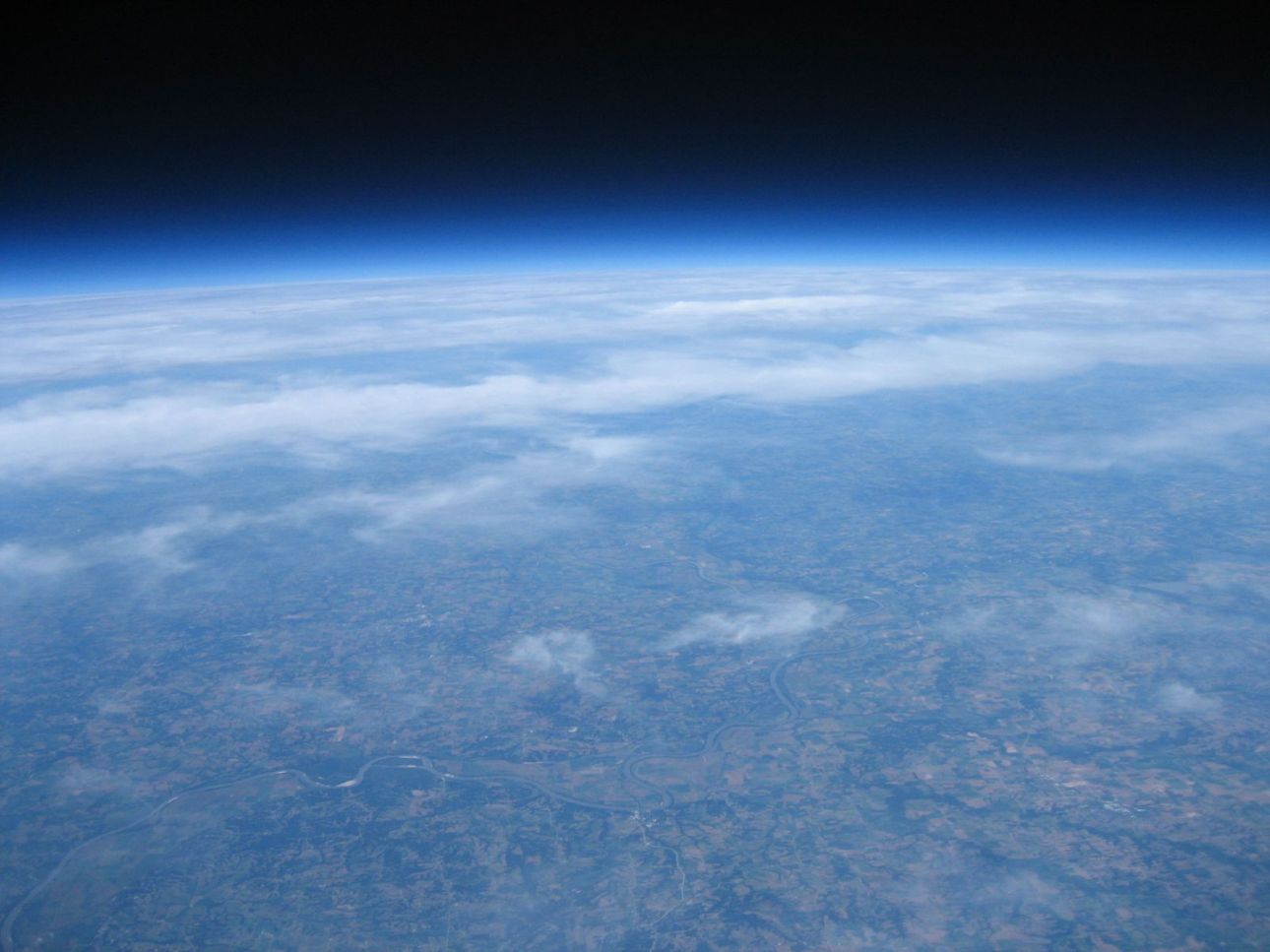
Data
Raw data log from capsule: SUFO-2 Flight Log.txt
Flight Analysis (data & graphs): SUFO-2 Flight Analysis.xlsx
Google Earth flight trajectory: SUFO-2 Trajectory.kmz
Launch, flight & recovery pictures: SUFO-2 Flickr sets
Feel free to post any comments or questions about the flight. I’d be happy to share anything you feel I missed.


Leave a Reply